GEOLOGY PRESENTATION
Join geologist Thomas L. Davis on Saturday, May 3, for an immersive Geologic Tour of Ojai Valley and Environs (OVE) with the Ojai Valley Land Conservancy.
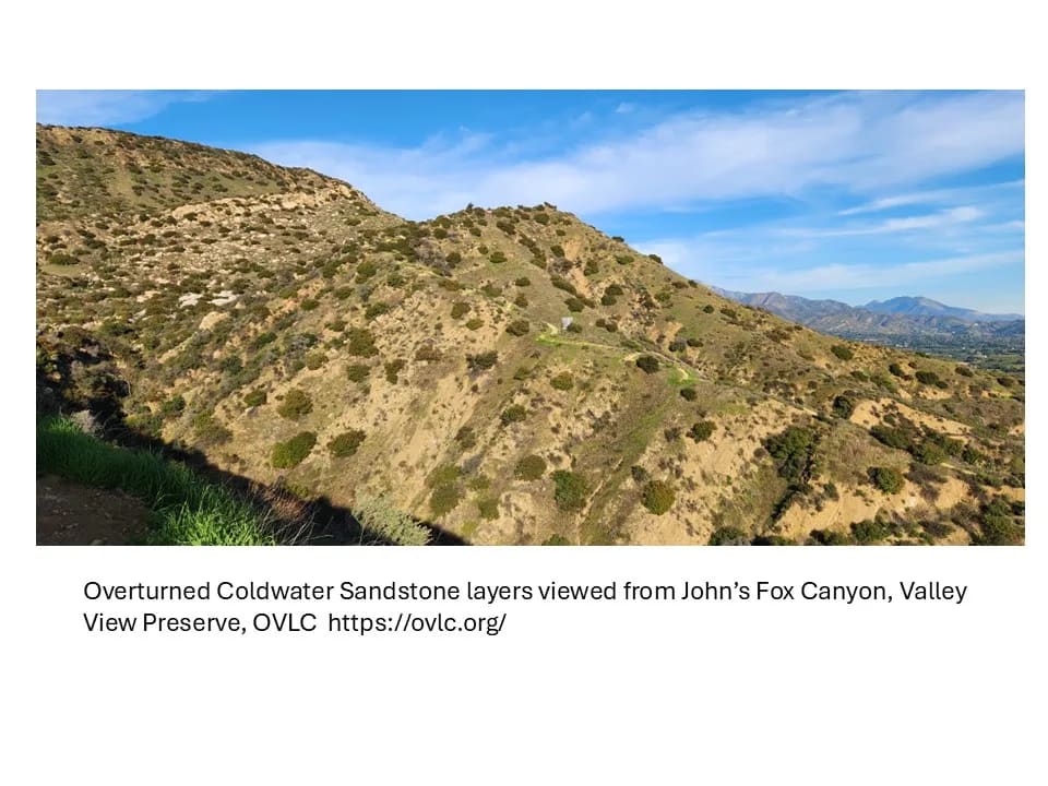
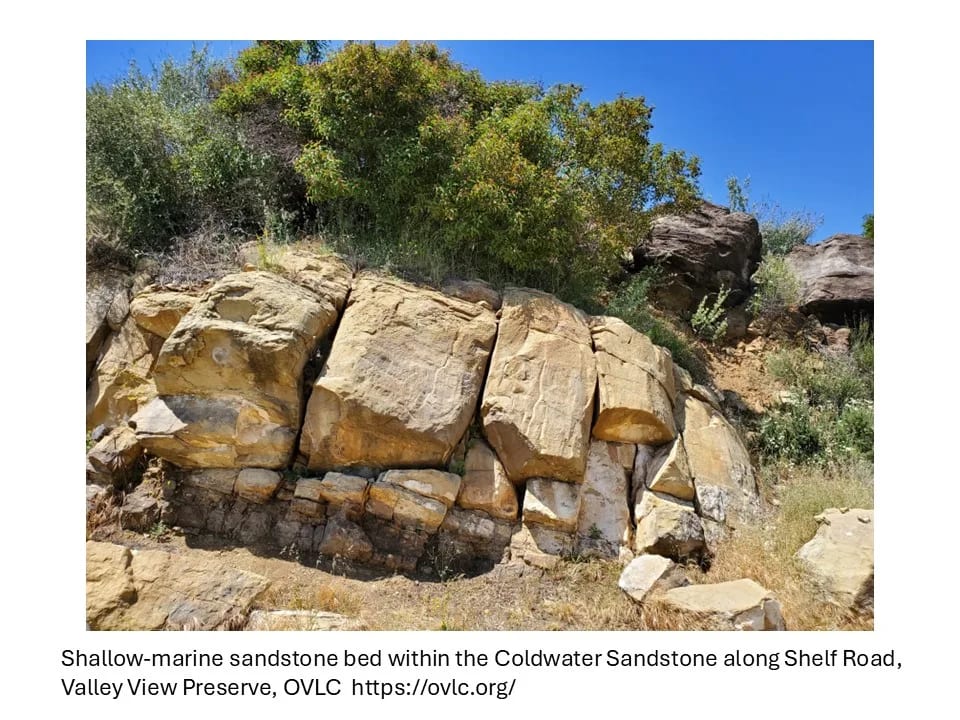
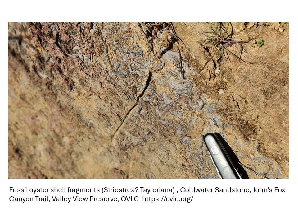
Discover how powerful tectonic forces have shaped Ojai’s dramatic landscapes—from the towering Topatopa Mountains to the alluvial plains below. Nestled within the geologically active Western Transverse Ranges, Ojai Valley has been sculpted over millions of years by earthquakes, thrust faults, and folding rock layers. Dr. Davis will discuss how the San Cayetano, Santa Ana, and Lion faults are actively uplifting the surrounding mountains, how alluvial deposits from local creeks have shaped the valley floor, and how ancient subduction zones left behind deep-marine formations seen in today’s rugged terrain. Learn how the valley’s geologic past—marked by the shifting Pacific-North American plate boundary and the remnants of the once-subducting Farallon Plate—continues to influence its future.
Through photos, maps, cross-sections, lecture, and discussion, this tour will bring Ojai’s deep geologic history to life.
SOLD OUT - GEOLOGY HIKE
Following the lecture, Dr. Davis will lead a guided hike along Ojai’s scenic Shelf Road, offering participants a firsthand look at the valley’s remarkable geology and expansive views of the Ojai Valley. Along the way, Dr. Davis will highlight key geologic features discussed in the talk, including fault lines, folded rock layers, and ancient marine formations.
This moderate, 3-mile out-and-back hike will take approximately 1.5 hours. Participants are required to wear sturdy walking shoes and provide their own water, snacks, and sun protection.
***Please note, space for the hike is limited to 15 participants.***
Thomas L. Davis is a California State registered geologist and owner of Thomas L. Davis, PhD Geologist. Davis’s work deals with structural geology, geologic mapping, earthquake hazards, and energy (geothermal, oil & gas exploration and field development, CO2 and hydrogen storage). His geographic focus is the basins of central and southern California, northern Nevada, Colombia, Venezuela, Mexico, and especially in the last decade, basins of South Asia (Bangladesh, Pakistan, Sri Lanka, and Myanmar, aka Burma). Davis is also the founder and CEO of the nonprofit Geologic Maps Foundation, Inc. He received his BS from UCLA and PhD from UCSB (Big Bend of the San Andreas Fault). Davis leads professional field trips and Geo-hikes primarily in California.
All items are non-refundable, all sales are final.